Blue Carbon Geonode
A web app and public mapping platform that lets scientists record coastal "blue carbon" habitats, calculate their carbon content, and share the findings through an open education portal.
| Client | GRID Arendal |
|---|---|
| UN SDGs | 13 Climate Action 14 Life Below Water |
| Impact | Norway Portugal Spain |
| Technologies | PHP, MySQL |
01 Introduction
GRID-Arendal is a Norwegian non-profit environmental communications centre that works with the United Nations Environment Programme (UNEP). They asked us to build an application for recording field measurements of blue carbon habitats off the coasts of Portugal, Norway, and Spain.
Blue carbon habitats — like seagrass meadows, salt marshes, and mangroves — are hugely valuable for storing and capturing carbon. But data on where these habitats are and what condition they're in is often lacking. The Blue Forests Project set out to map them, while engaging local communities and students in conservation along the way.
The key objectives were to:
- Let scientists log coordinates, habitat data, species information, and sediment measurements
- Calculate ecosystem metrics like sediment density and carbon content
- Verify the accuracy of data before it's published
- Visualise datasets on interactive maps
- Develop educational materials for communities and classrooms
02 The Project
We built a web app for field data entry, with integrated sensors, formulas for real-time calculations, and review tools for administrators. Scientists can easily record locations, classify habitat types and species, log sediment sample weights across containers, and capture sensor readings.
Administrators then run each submission through a verification process, checking the data against sensor ranges, formulas, and location accuracy. Verified entries are synced to a database and made viewable through dynamic web maps that compare habitat types, carbon stores, and measurement densities.
The app connects to a public website that offers open access to the aggregated data - visualisations and summaries - alongside background material, a student curriculum, and community engagement guides on conserving blue carbon ecosystems.
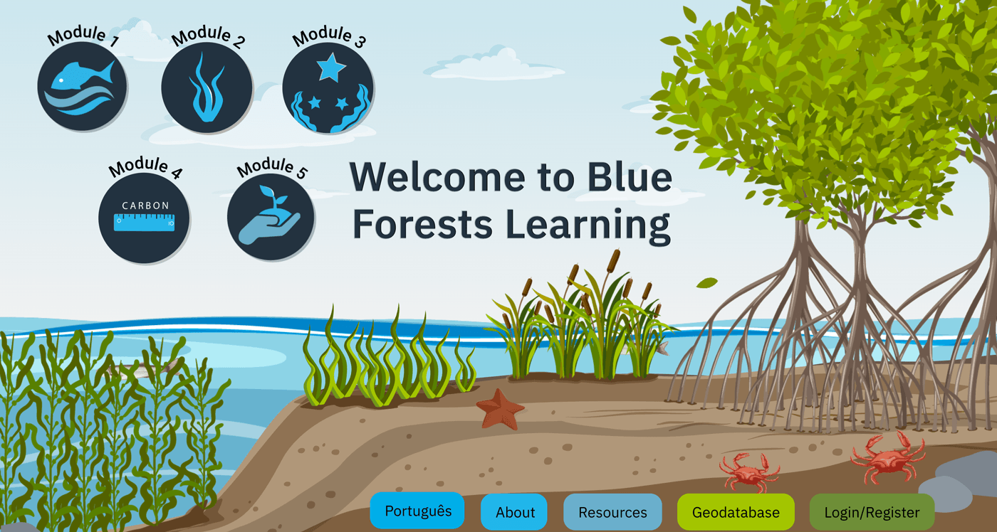
A welcoming entry point to the platform, where users can launch any of the five learning modules directly from the home page. Navigation buttons provide one-click access to the geodatabase, supporting resources, project information, and language options, with login available to save progress.
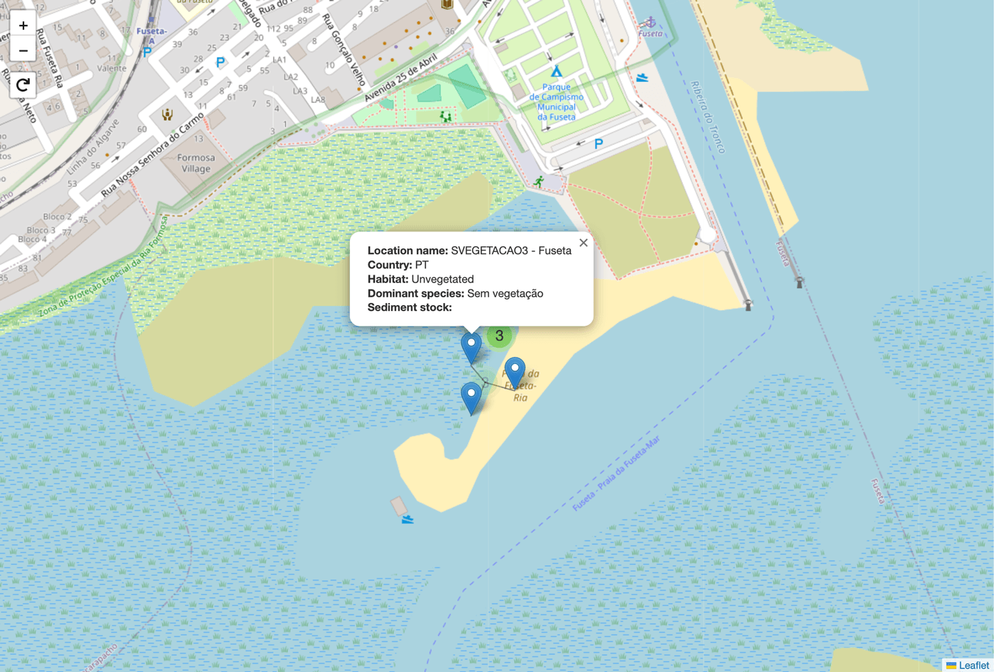
An interactive map lets users explore monitoring sites across the project area. Selecting any marker opens a detailed panel showing the location name, country, habitat type, dominant species, and recorded sediment stock - making it easy to compare sites and understand the carbon-storing potential of each habitat.
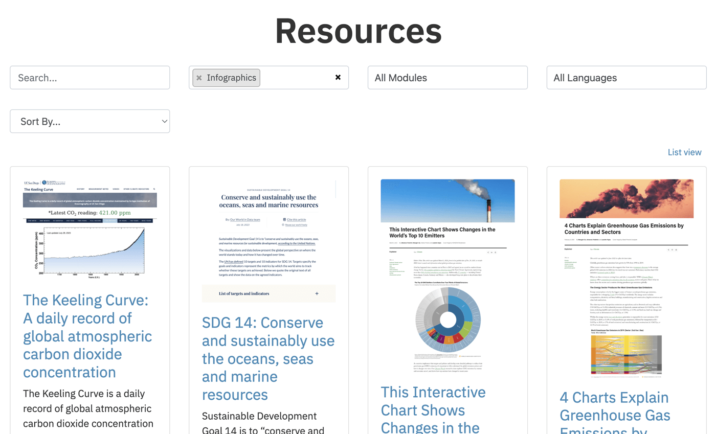
The Resources library brings together curated materials in one searchable space. Users can filter by type, module, and language, sort results to suit their needs, and switch between grid and list views - making it easy to find relevant infographics, articles, and data tools at a glance.
03 Conclusion
Despite some challenges around timelines, we delivered an end-to-end system that supports extensive field research while connecting the findings to public outreach. Early results have already informed policy recommendations around expanded protections. The open data and education portal continues to support research worldwide, while bringing local coastal communities together around conservation.